Please click the  on the right side of the screen to proceed.
As you navigate your virtual adventure, you will become familiar with the following icons. You can always access the "Quick Tips" page through the top navigation bar.


If you need to resize content in your browsing window, use 'ctrl' and '+' or '-' for Windows and 'command' and '+' or '-' for Mac.

Find the 'CC' button, located in the bottom right-hand corner of each video, to turn closed captions on and off.

To enter full screen mode, click the four arrow icon. To exit, tap the 'esc' key.
MEET THE EXPERTS
Meet the experts from Cincinnati Museum Center and partnering learning institutions that will be guiding your virtual adventure!

Citizen of the Muscogee Nation

Associate Professor of Social Studies Education & History, Faculty Senate Parliamentarian, Black Studies and History Department Affiliate, Northern Kentucky University

Cincinnati Museum Center

Cincinnati Museum Center
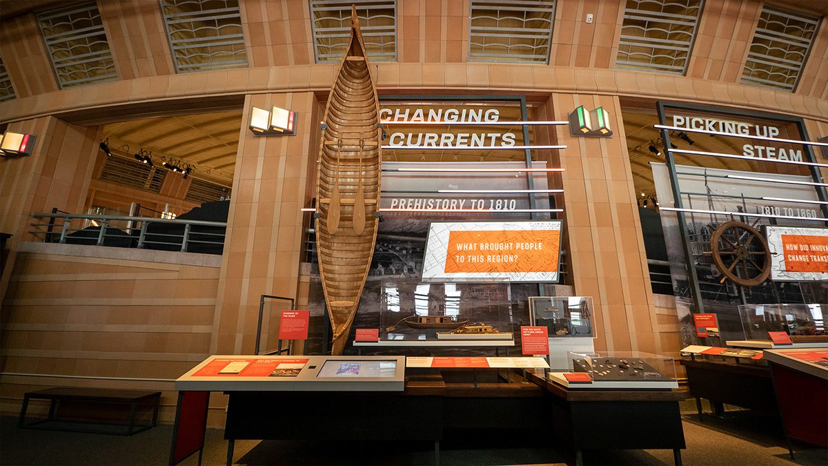
SHAPING OUR CITY
Use the interactive video below to explore how the region has changed over time.
General Photo Collection (Delta Queen)

Click the video icon to learn more!
Learn more about Shaping Our City.
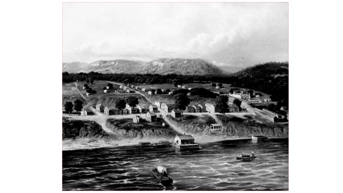
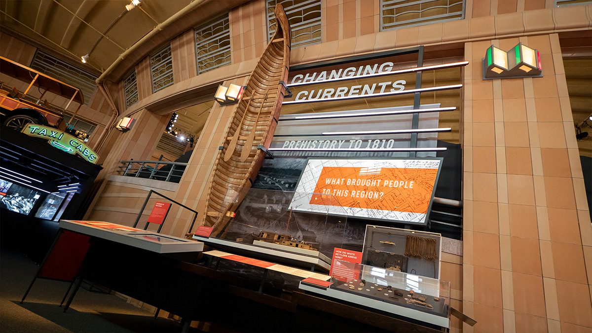
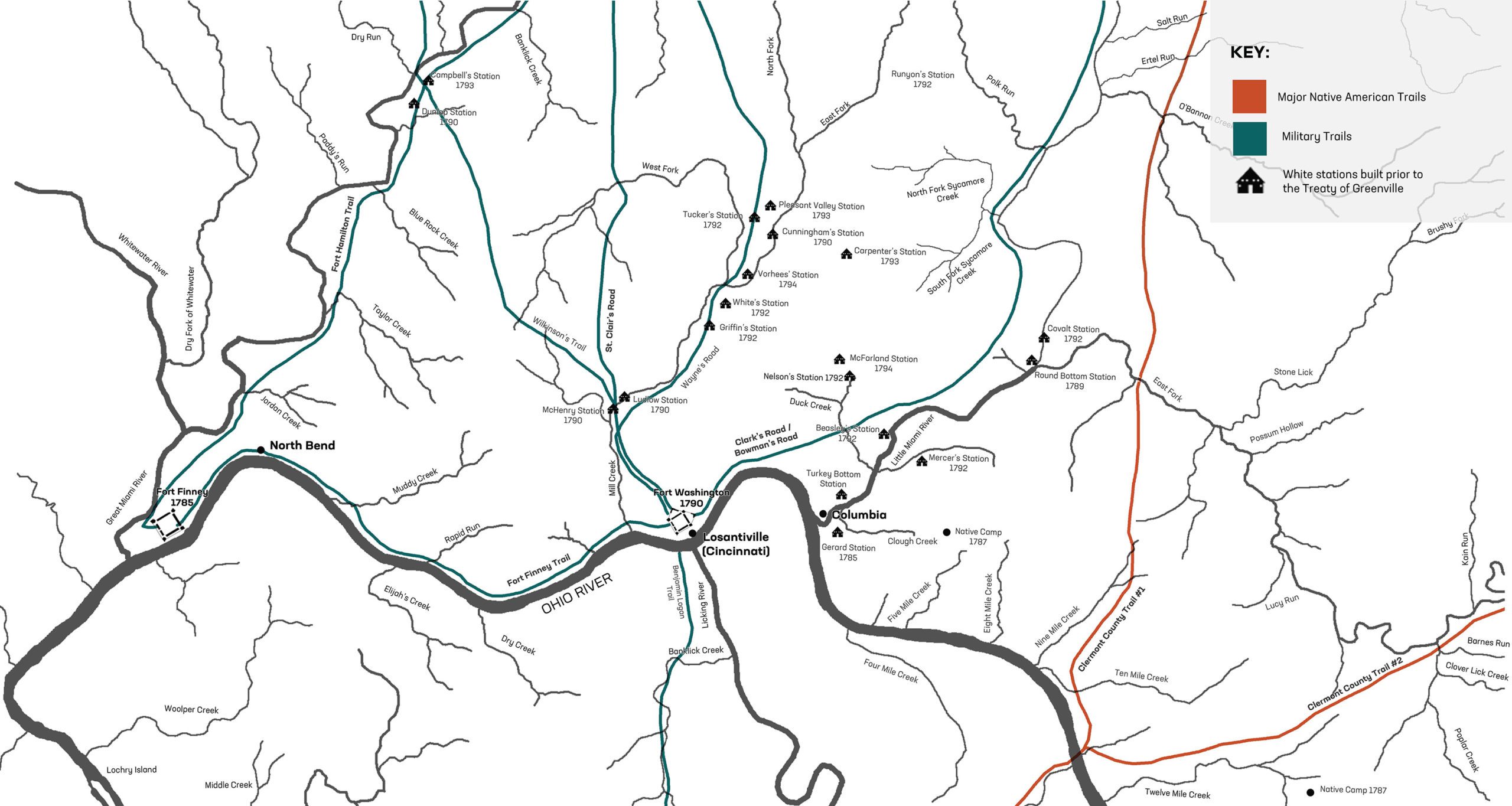
FIRST SETTLEMENT TO 1810
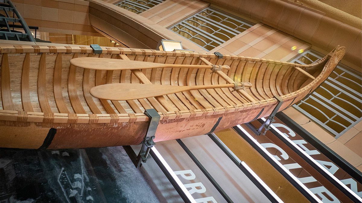
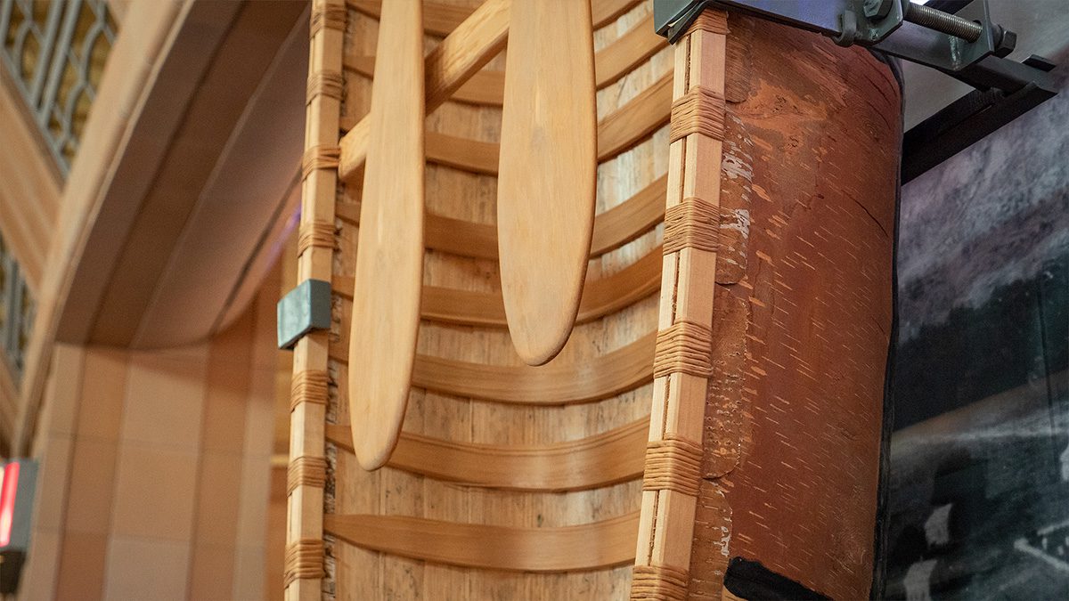
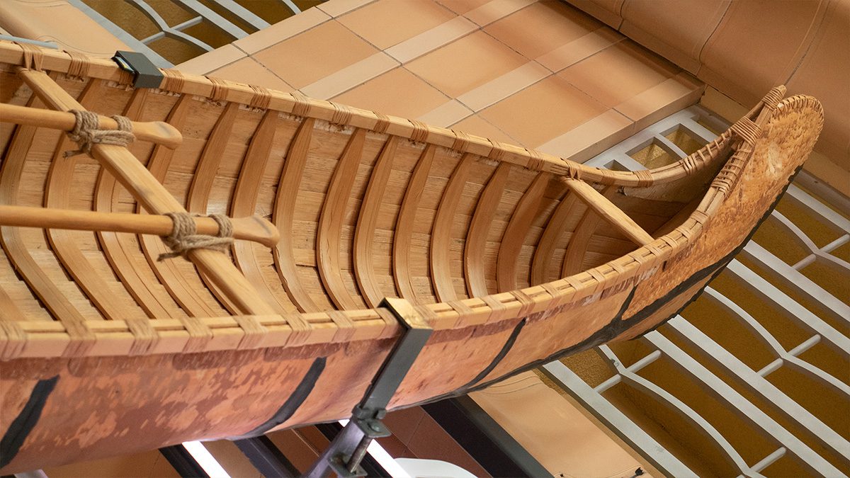
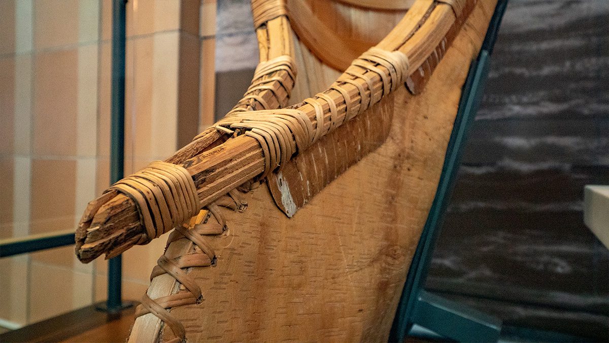
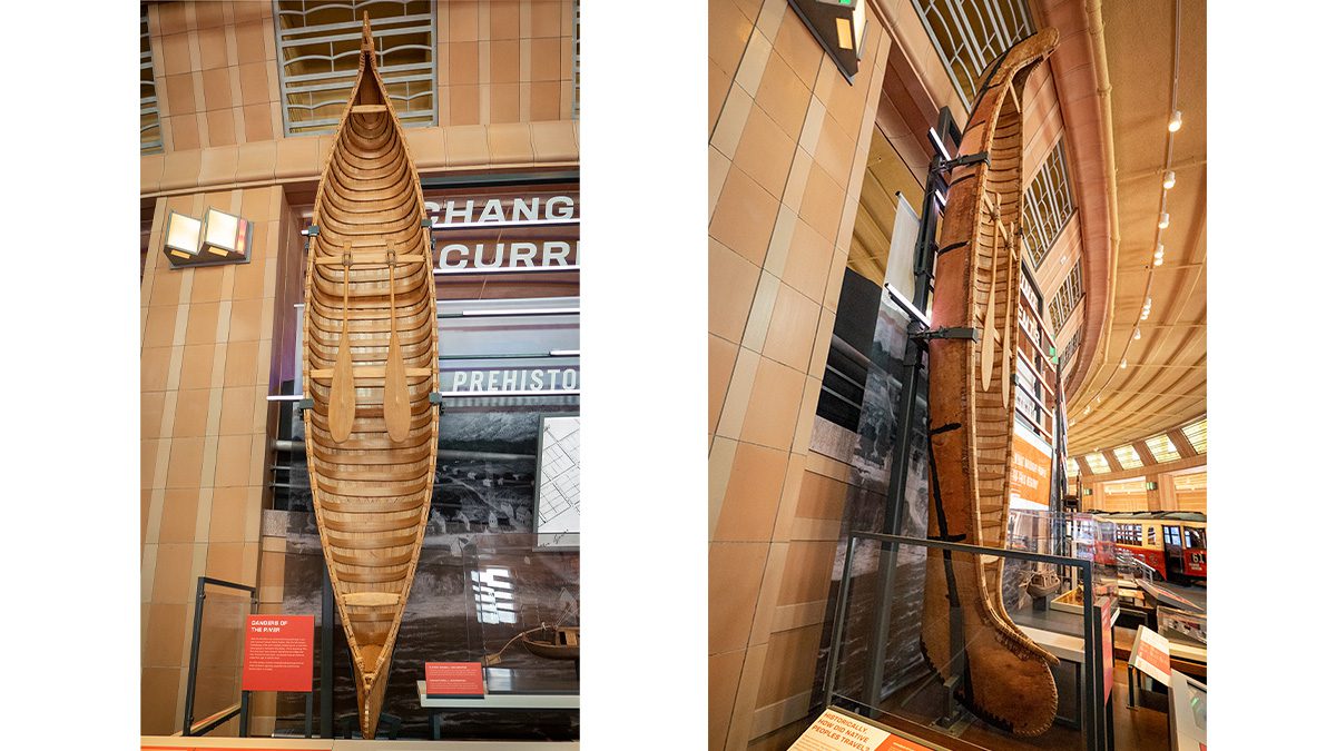
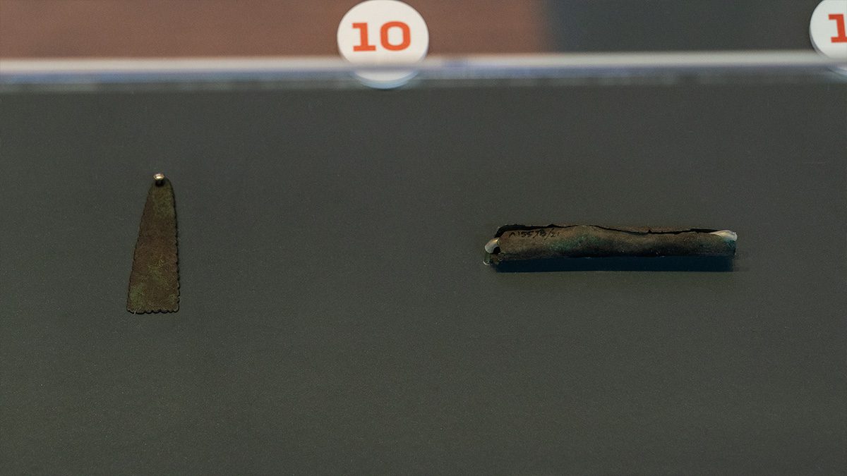
Native stewardship of our region goes back at least 13,000 years. People were attracted to the level, elevated land and a system of overland trails. At 981 miles long, the Ohio River and three major tributaries provided plentiful water, fertile soil for farming and routes for communication and trade.

Click the photo icon to learn more!
Learn more about Shaping Our City.
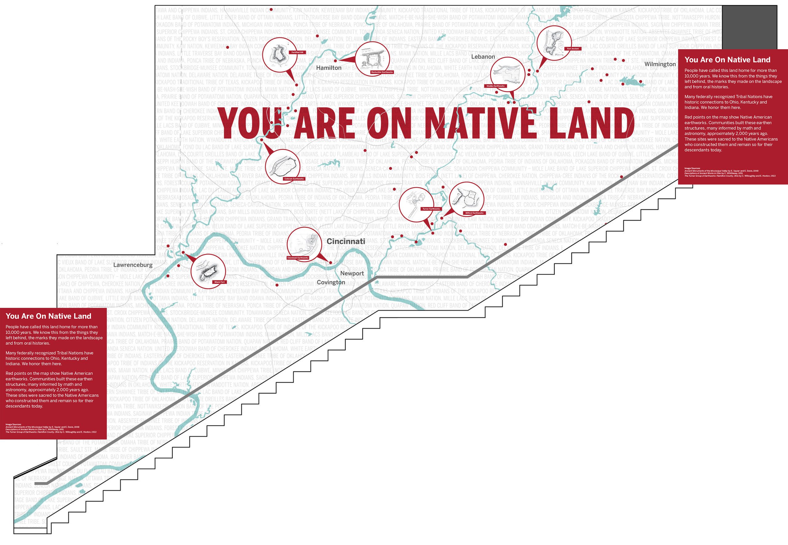
LAND ACKNOWLEDGEMENT
Hover cursor over map for larger view.
Click the video icon to learn more!
Click on the icons to explore more about this area.

Click on the icons to explore more about this area.
Click on the icons to explore more about this area.
Click on the icons to explore more about this area.
Click on the icons to explore more about this area.
Please close the new browser tab to return to this presentation.

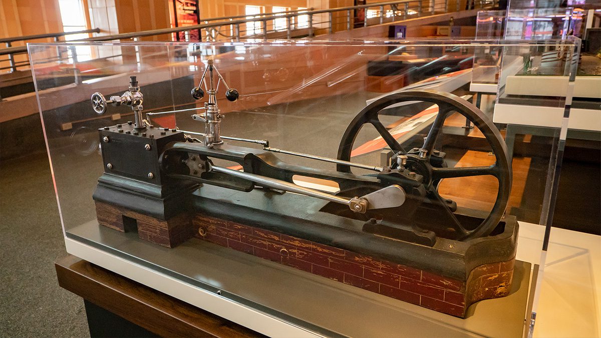
Advances in Technology for Transportation and Industry
Click the video icon to learn more!
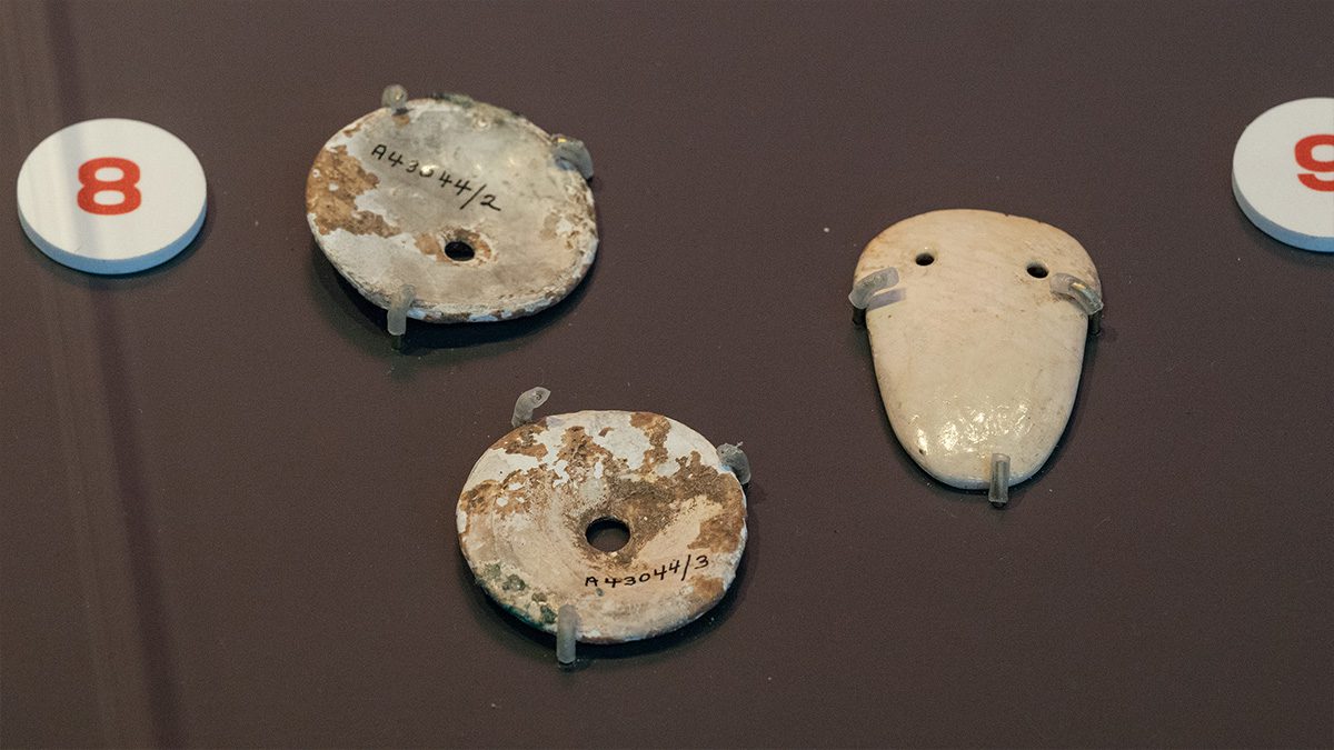
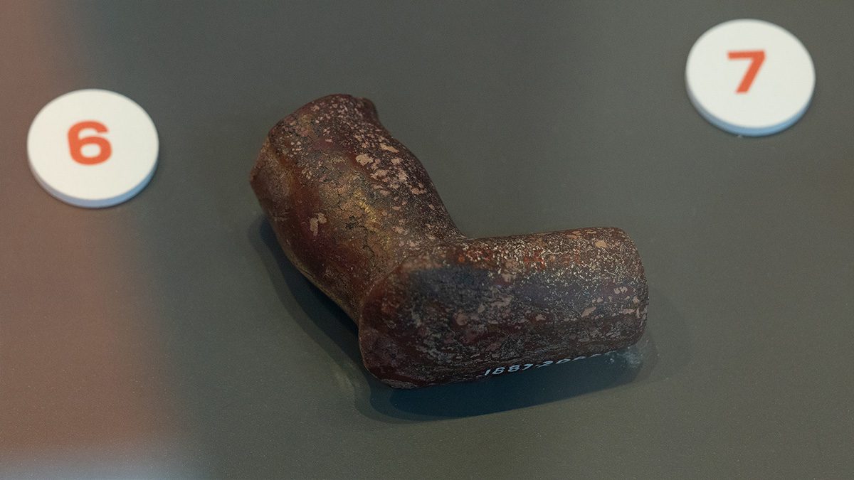
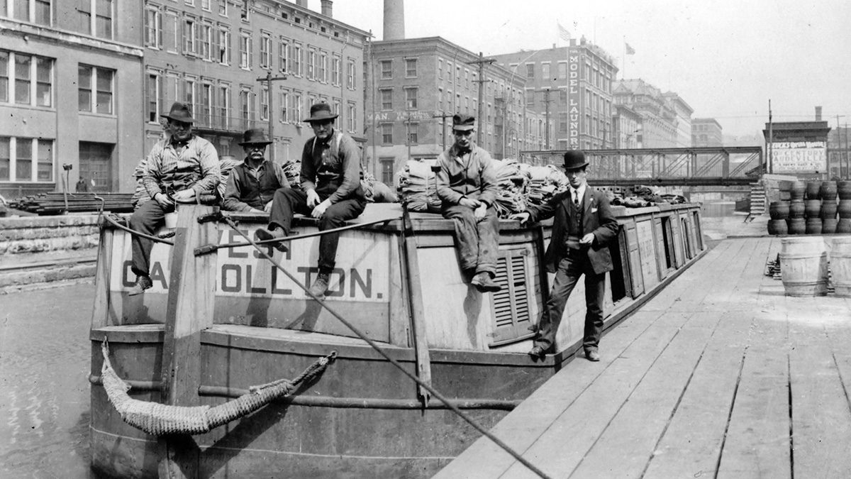
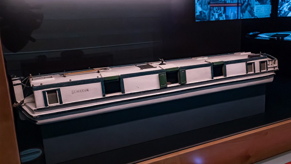
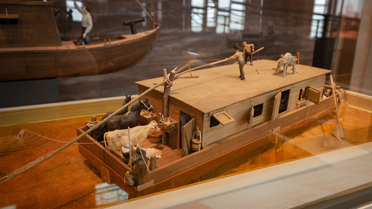
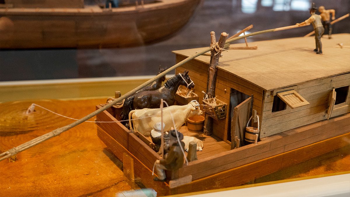
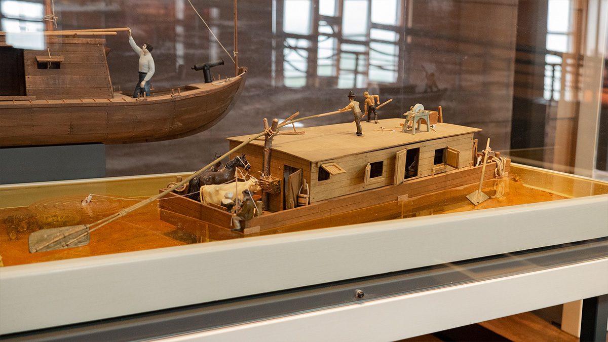
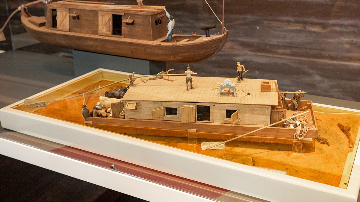
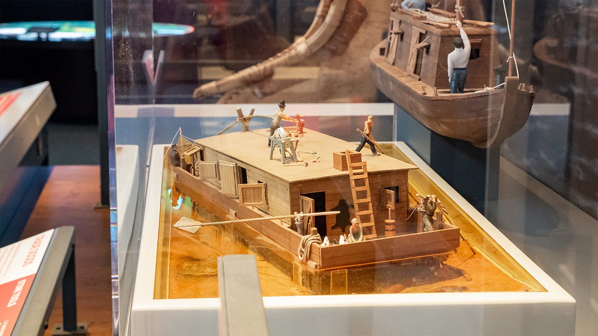
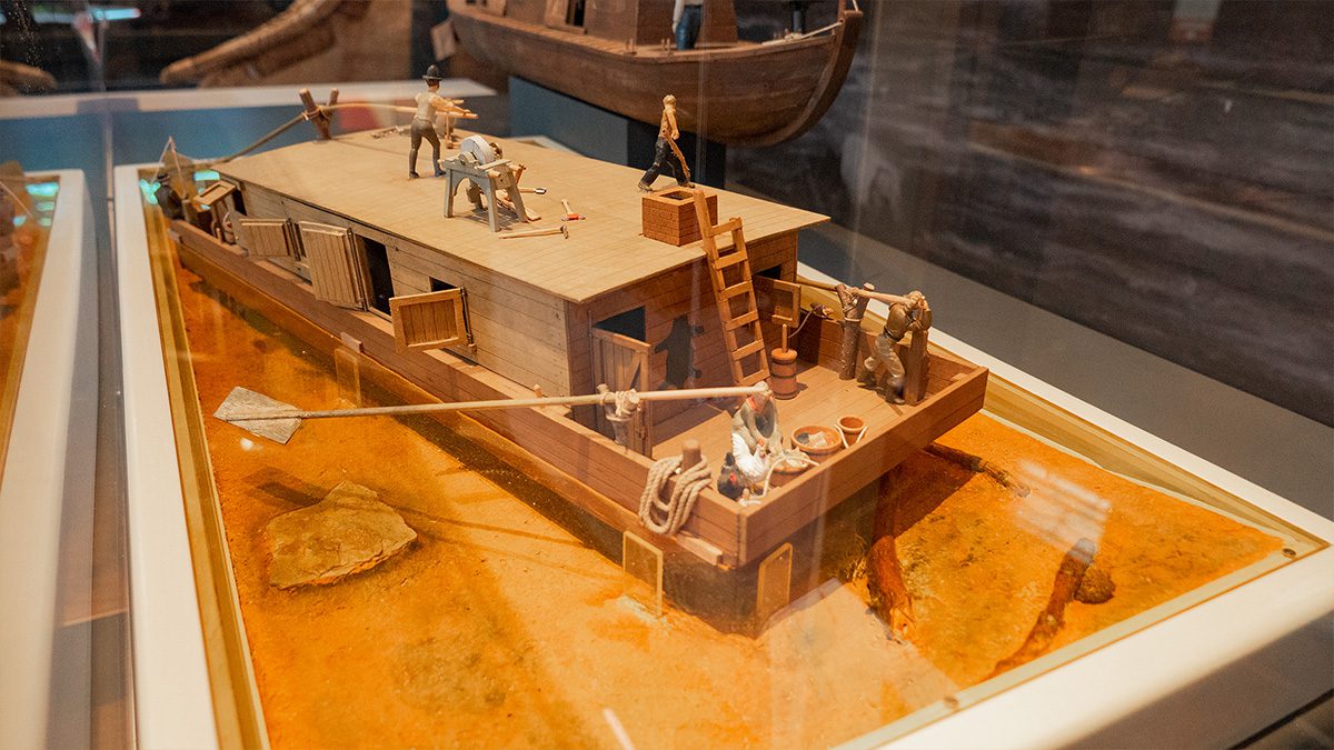
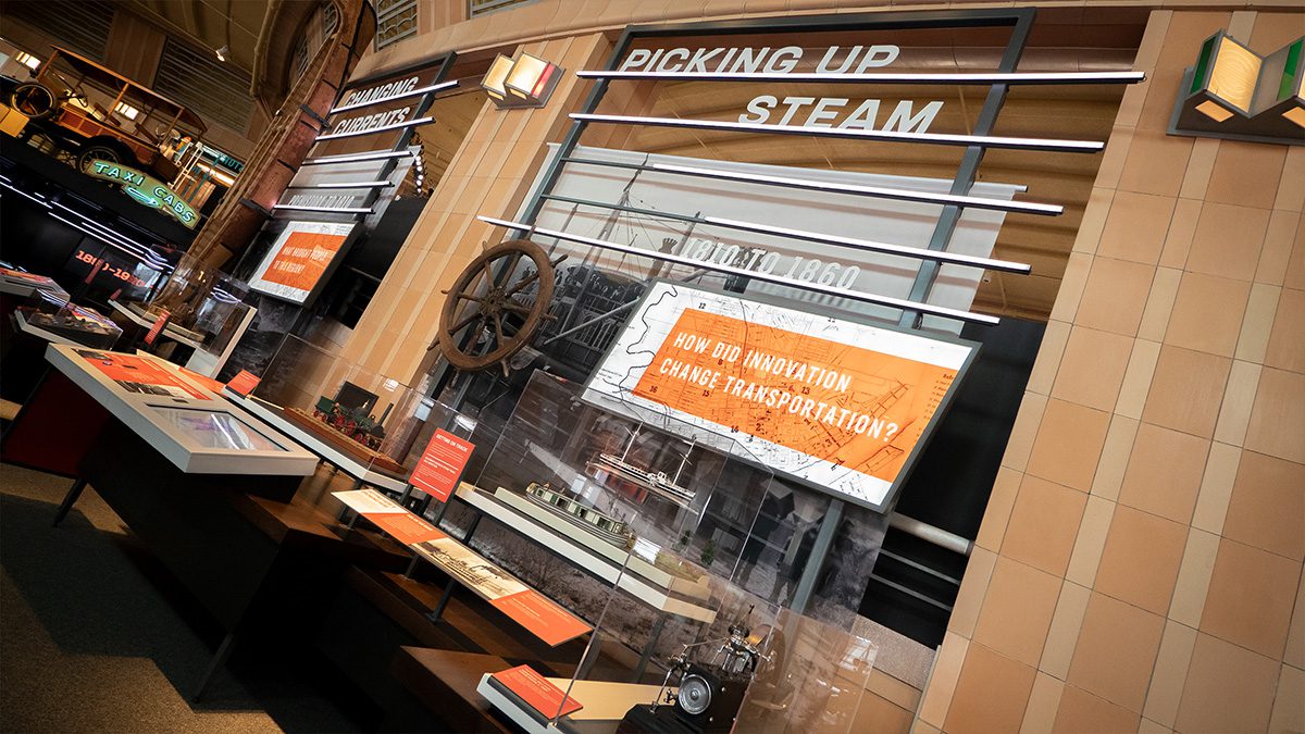
FERRIES AND CANALS
Click the photo icon to learn more!
Learn more about canal boat Senator
Residents of southern Ohio and northern Kentucky used ferries to maintain social and business connections. Canals were built to more quickly connect farmers and manufacturers north of Cincinnati with markets in the city.
Click the photo icon to learn more!
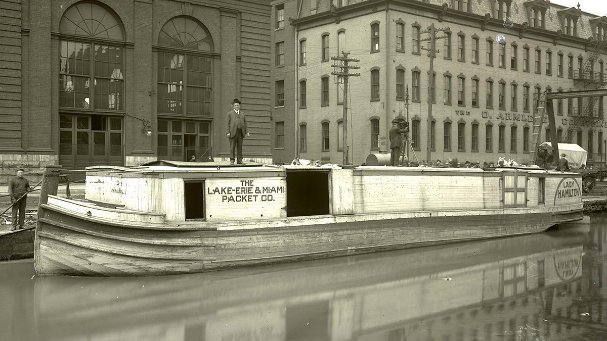
Learn more about canal boat Lady Hamilton
Click the photo icon to learn more!
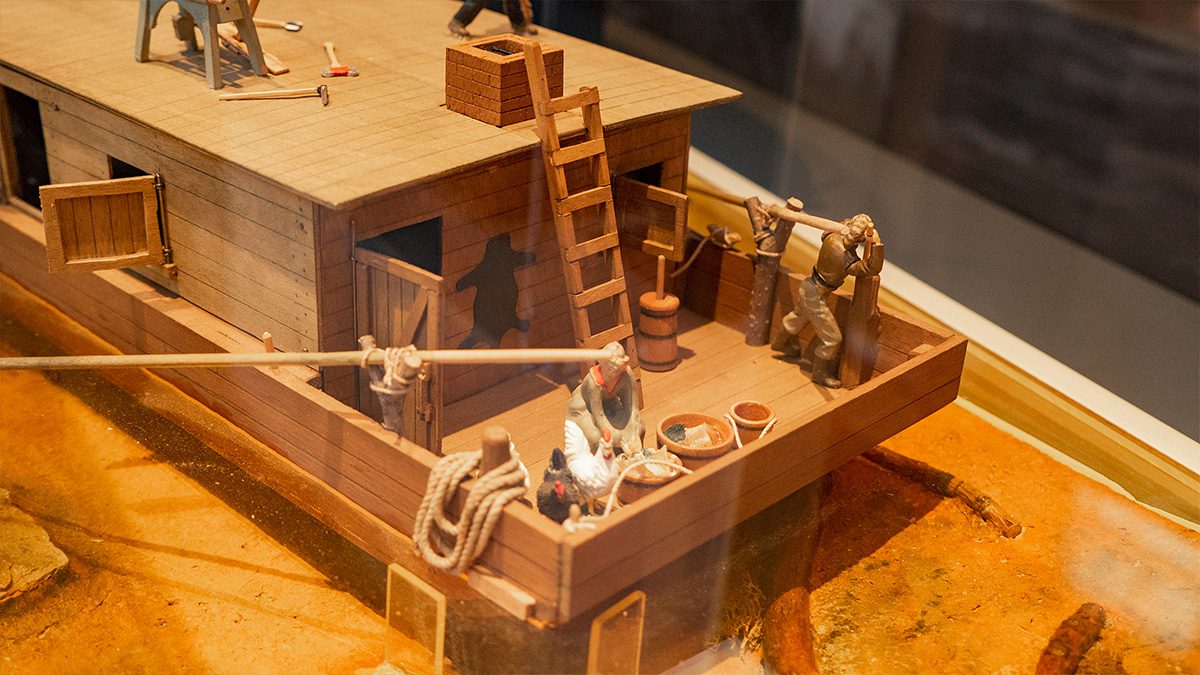
Lady Hamilton canal boat
Click the photo icon to learn more!
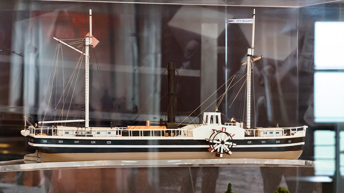
Learn more about Canal Boats
Click on the icons to explore more about this area.
Please close the new browser tab to return to this presentation.
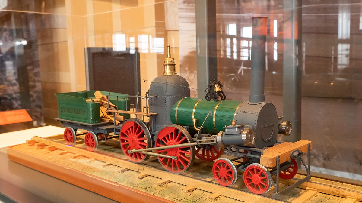
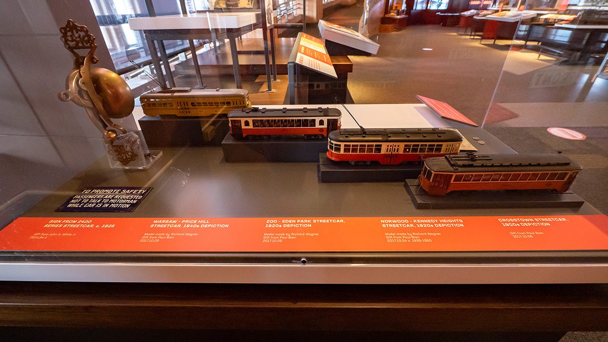
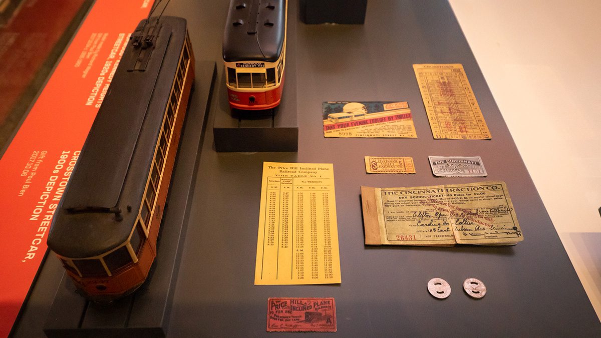
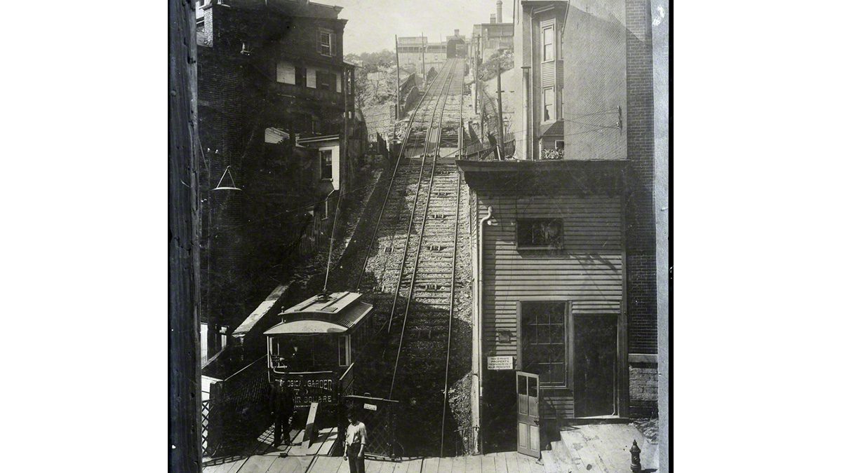
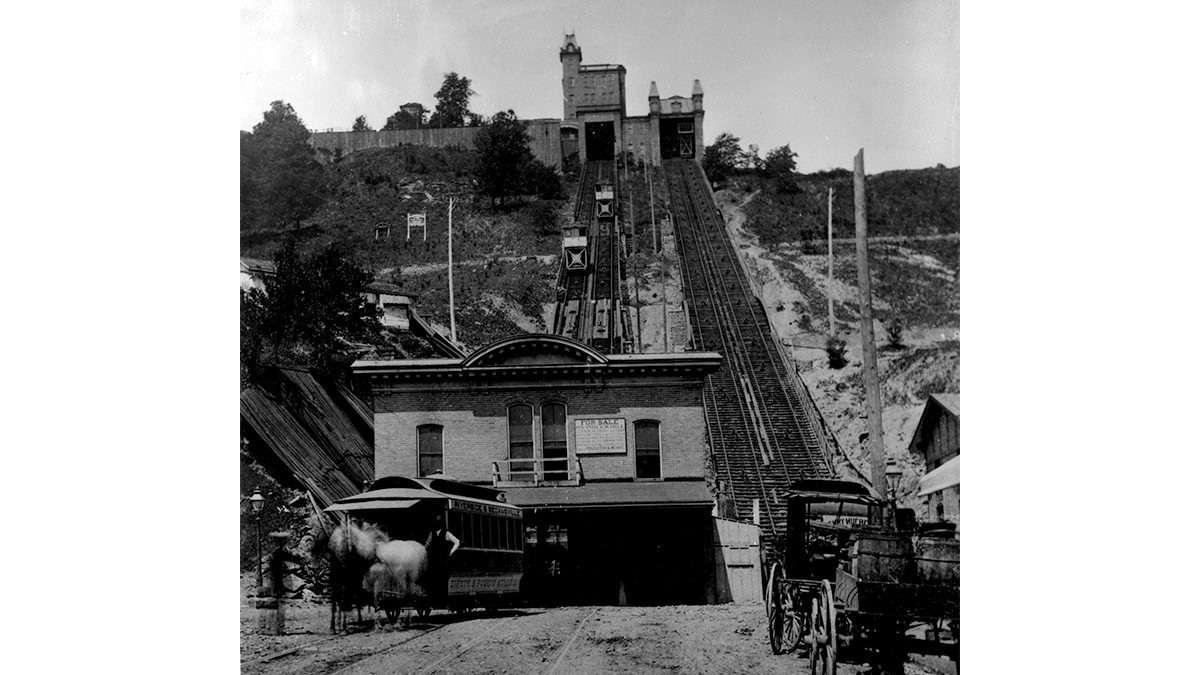
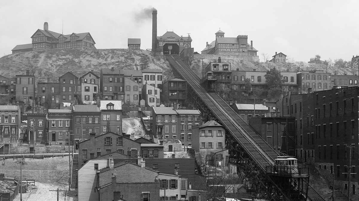
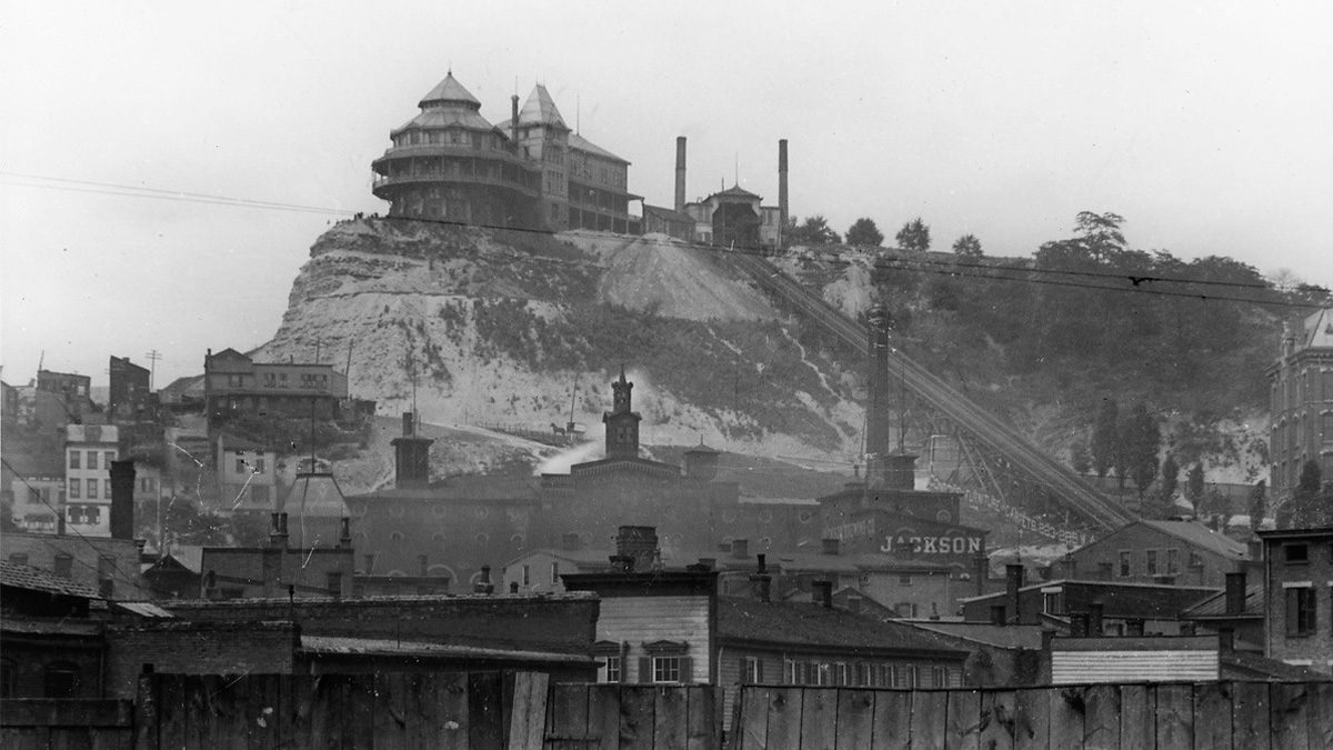
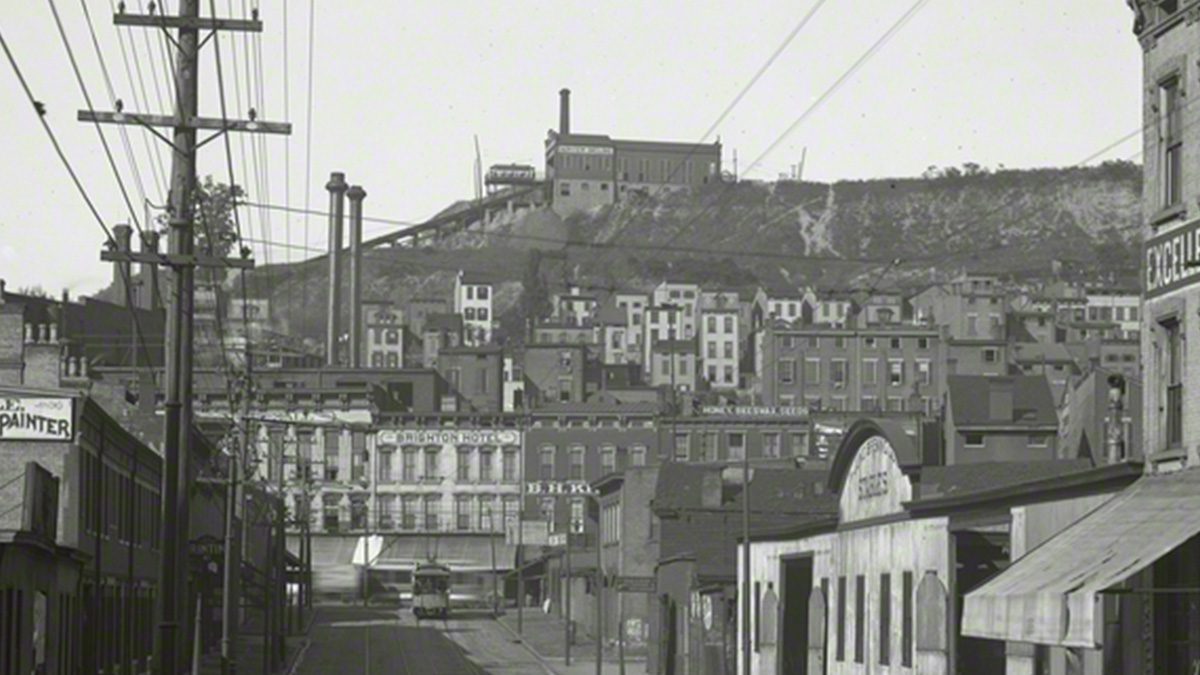
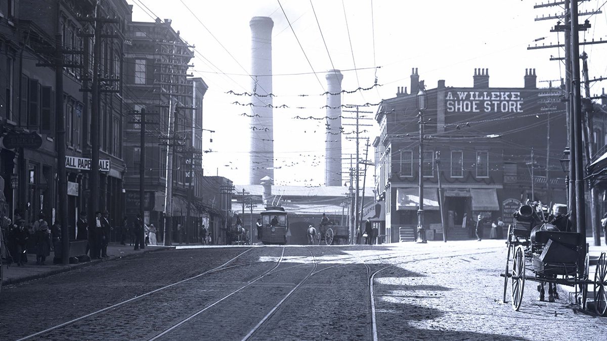
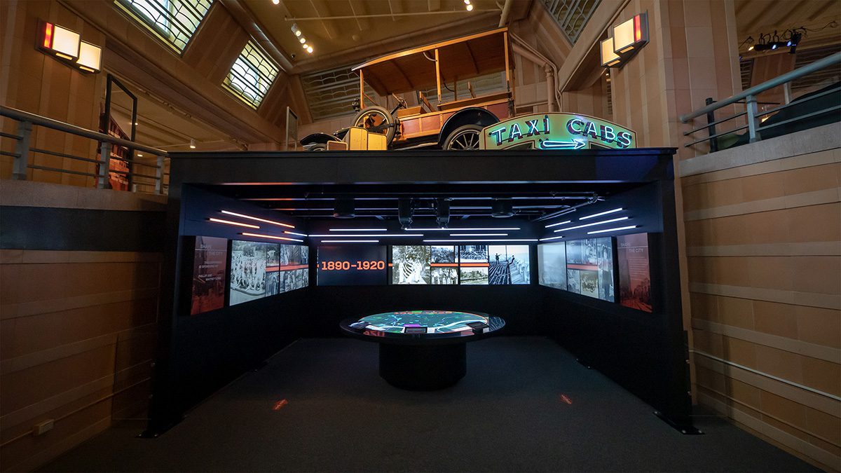
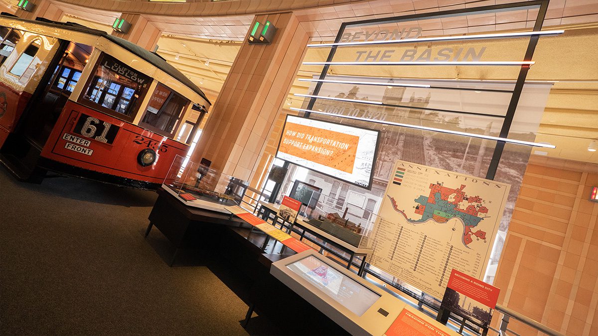
1860 to 1920
By 1860, Cincinnati was the seventh largest city in the United States. With the surrounding hills confining the city to its founding footprint, Cincinnatians began to push their way out of the basin and up the hills. As Cincinnati began to annex new territory, inclines and streetcars provided a way to easily travel up the hills and still access downtown.
Click the photo icon to learn more!
Learn more about Shaping Our City.
Click on the icons to explore more about this area.
ANNEXATION
Are there any neighborhoods you recognize today?
When were smaller neighborhoods annexed?
What time periods are associated with the different colors?
Hover cursor over map for larger view.

Click on the icons to explore more about this area.
Click on the icons to explore more about this area.
Please close the new browser tab to return to this presentation.